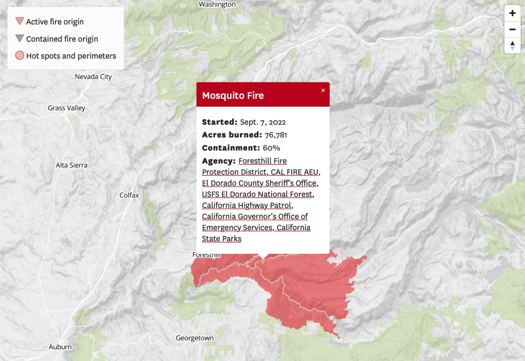
For Californians, 2020 has not been much fun. Now, in just the course of a few days, hundreds of wildfires have been ignited in the northern part of the State, mostly as a result of lightning strikes.
To help residents and others to know what to do during this crisis, please review the following list of references:
Latest News and Updates
- More than 14,000 firefighters battling California wildfires
- Some LNU Complex evacuations could soon lift
- Lightning storms to start again Sunday evening
- Wildfires have burned more than 1 million acres in past week
- State Parks close near fire zones
- Northern California could see more thunderstorms Sunday, while air quality expected to remain poor
- California Burns Interactive Book
Fires
The following is a breakdown of fire incidents:
North Complex
The North Complex is located on the Mt. Hough Ranger District on the Plumas National Forest and consists of numerous lightning fires being managed as one incident.
Counties: Plumas, Lassen
Where to Get Information
Acreage and Containment
As of 7 a.m. on August 27, these fires had burned 54,993 Acres acres and were 21% contained.
Casualties, Injuries and Damages
No structures have been destroyed or damaged by these fires.
Evacuations
Here’s where you can find the latest information on evacuations:
- Incident page
- Plumas National Forest Facebook Page
- Lassen County Sheriff’s Office Facebook Page
- Story Map
Butte/Tehama/Glenn Lightning Complex (Butte Zone)
Crews are actively mitigating multiple 100-1,000 acre fires within the unit, including the formerly named Potter’s Fire.
Counties: Butte
Where to Get Information
- Cal Fire incident page
- Information line: (530) 538-7826
- Cal Fire Butte Unit Twitter page
- Cal Fire Butte County Facebook Page (livestreams briefings at 6 p.m.)
- Butte County Sheriff’s Office
Acreage and Containment
As of 7 p.m. on August 26, these fires have burned 2,909 acres and are 63% contained.
Casualties, Injuries and Damages
No structures have been destroyed or damaged by these fires, 27 are threatened. One first responder has been injured.
Evacuations
Here’s where you can find the latest information on evacuations:
CZU Lightning Complex
Counties: Santa Cruz and San Mateo
Where to Get Information
- Cal Fire incident page
- Cal Fire SCU Twitter page
- Information line: (831) 335-6717
- Damage Assessment Map
Acreage and Containment
As of 7 a.m. on August 27, these fires have burned 81,333 acres and were 21% contained.
Damage, Casualties and Injuries
There has been one death. 445 homes have been destroyed, and 200 other buildings and structures. A Damage Assessment Map is available.
Evacuations
Here’s where you can find the latest information on evacuations:
SCU Lightning Complex
Includes the Deer Zone fires (Round Fire, Palm Fire, Marsh Fire and Briones Fire), the Calaveras Zone fires (Kilkare Fire, Arroyo Fire, Mill Creek Fire, Welch Fire, Ohlone Fire and Reservoir Fire) and the Canyon Zone Fires (Peg Leg Fire, Terraville Fire, Del Puerto Fire and Peach Fire)
Counties: Santa Clara, Alameda, Contra Costa, San Joaquin, Stanislaus, Merced and San Benito
Where to Get Information
- Cal Fire incident page
- Cal Fire SCU Twitter page
- Information line: (916) 618-3195 or (669) 247-7431
Acreage and Containment
As of 7 a.m. on August 27, these fires have burned 368,671 acres and were 35% contained.
Casualties, Injuries and Damages
Two civilians and three first responders have been injured in these fires. 20 structures have been destroyed, and another 20,065 are threatened.
Evacuations
Here’s where you can find the latest information on evacuations:
LNU Lightning Complex
Includes the Hennessey Fire, Aetna Fire, Walbridge Fire, Meyers Fire and Round Fire
Counties: Napa, Sonoma, Solano, Lake & Yolo
Where to Get Information
- Cal Fire incident page
- 24-hour information line: 707-967-4207
- Cal Fire LNU Twitter page
- Solano County Sheriff Twitter page
- Vacaville Police Twitter page
- Damage Assessment Map
Acreage and Containment
As of 7 a.m. on August 27, these fires have burned 368,868 acres and were 33% contained.
Casualties, Injuries and Damages
Five civilians have died and four have been injured. At least 1,080 structures have been destroyed, and 272 damaged. Another 30,500 structures are threatened. A Damage Assessment Map is available.
Evacuations
New evacuations were announced at 4 p.m. Wednesday in Yolo County. Here’s where you can find the latest information on evacuations:
Additional Resources:
- MAP: See Where Wildfires Are Burning in California
- Tracking Wildfires: Where To Find Information During California Fire Season
- How To Prepare For A Wildfire (including how to sign up for emergency alerts)
- Fire FAQ: How To Understand What You Hear About Wildfires
- What To Know About Air Quality During Fire Season
- The Air Is Full Of Dangerous Wildfire Smoke And Viral Particles. What’s The Best Protection For Your Health?


